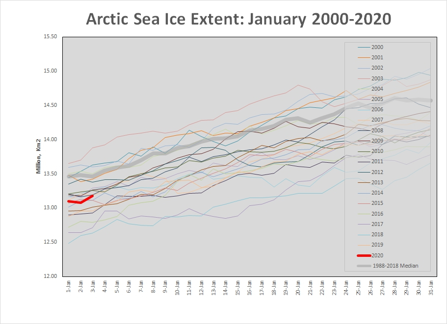
January 3, 2020
Mapped Arctic sea ice extent (SIE) on this date was 13.176 million km2 which is 280,000 km2 or 2% less than the 2008-2018 median. This is largest sea ice extent since 2012 and the 12th highest since 2000. Sea ice is steading growing in the Bearing and Barents Seas and around Greenland. We predict maximum SIE of 15 million km2 to be reached in early April 2020.
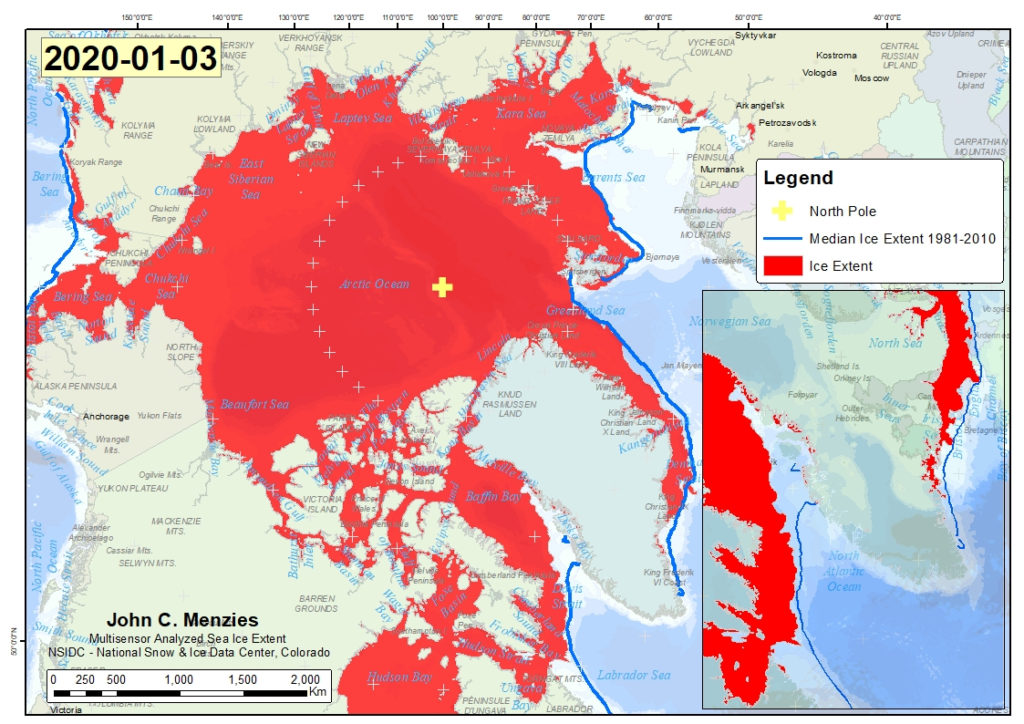
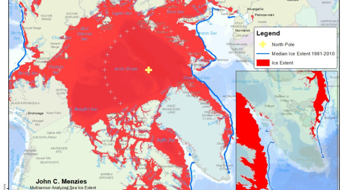
The extent of Arctic sea ice varies from summer to winter. The sea ice extent shown here relies on data from the Multisensor Snow and Ice Mapping System (IMS) that runs at the National Ice Center. The IMS product uses several satellite data sources including passive microwave, but it is also based on visual analysis and other data sources and undergoes a form of manual data fusion. The data reported here hasa 1 km resolution and was sourced from the National Snow and Ice Data Center